How Aircraft Radar Detects Weather?
By Aviation Explained · 2026-11-06
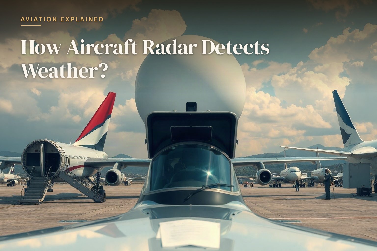
When a pilot is flying through thick clouds toward a thunderstorm, they cannot see anything through the windshield. But on a small screen in the cockpit, they're watching a real-time color map of exactly where the storm is, how strong it is, and which direction to turn to avoid the worst of it. That map comes from something called weather radar, and it works by sending invisible radio waves ahead of the aircraft to detect what's actually out there.
The basic principle is refreshingly simple
Weather radar uses a rotating antenna on the nose or tail of an aircraft to send out pulses of radio energy. Those radio waves travel straight ahead through the air until they hit something that stops them. When they hit a raindrop or an ice crystal inside a cloud, the wave bounces backward. The antenna catches the returning echo and measures how strong it is and how long it took to bounce back.
How distance gets measured
If a radio wave bounces back very quickly, the storm is close. If it takes longer, the storm is far away. By measuring the exact time between sending a pulse and receiving its echo, the radar computer calculates the distance to that raindrop with impressive precision. A pilot can tell if dangerous weather is five miles ahead or fifty miles ahead just from how long the echo takes to return.
Why raindrops matter most
The reason weather radar works is that large raindrops and hailstones are very good at bouncing radio waves. The bigger and denser the raindrop, the stronger the echo that comes back. Light rain produces a weak echo. Heavy rain produces a strong echo. Hail produces an extremely strong echo because hail particles are solid ice. This is why the radar image shows the intensity of the rain and gives the pilot a real sense of where the heaviest weather is located.
The screen reads like a map
The radar antenna rotates back and forth across a sixty or ninety degree arc in front of the aircraft. As it sweeps, it sends out hundreds of pulses per second. Each pulse returns echoes from different distances. The radar computer stacks all these echoes together and paints them on the screen as a two-dimensional picture. Weak echoes show up as green or yellow. Strong echoes show up as red or magenta. A pilot literally sees a live weather map of what's ahead.
Why pilots plan around it
In the days before radar, a pilot flying toward a thunderstorm was gambling. You could not see the storm coming, and once you were inside it, you were trapped and possibly in serious danger. With radar, a pilot fifty or one hundred miles away already knows a storm is there. They can request a different altitude from air traffic control, or divert to a different route, or plan exactly where to penetrate the storm system where it is least intense. The ability to see weather miles away is one of the most important safety tools in the cockpit.